October 29, 2015 | Illustration Age | 3 Comments
Tags: Don'tMiss, Illustration, map
Categories: Illustrators
Subscribe to our RSS feed and social profiles to receive updates.
Love them!
very interesting and attractive maps i love it
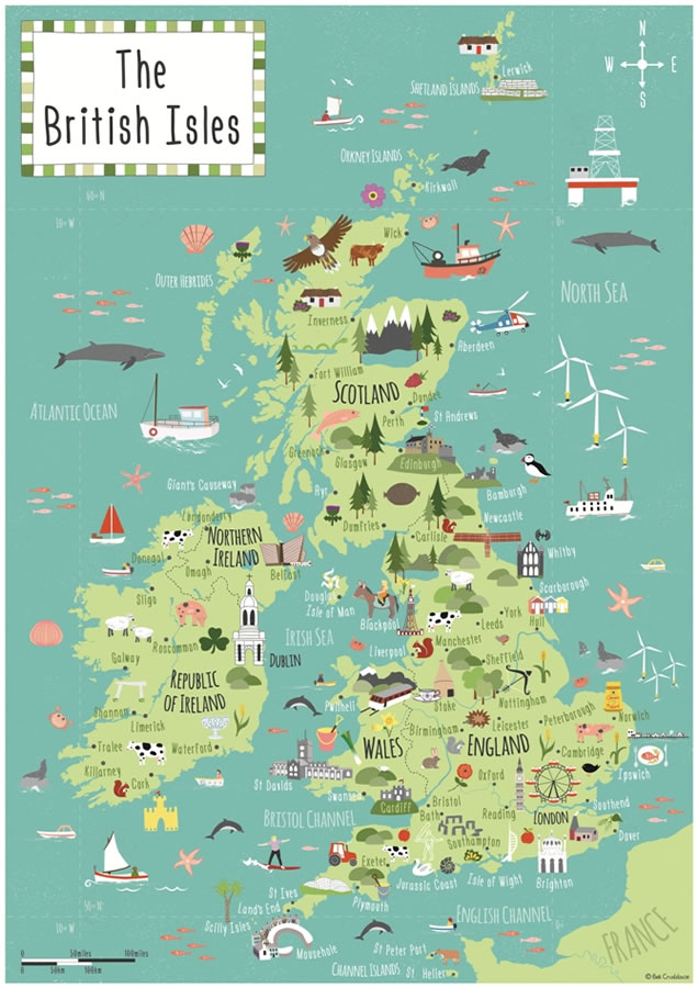
Hi! How can I get a high quality copy of this British Isles map? I want to print it and make a poster.
Δ
This site uses Akismet to reduce spam. Learn how your comment data is processed.
Enter your email address to subscribe to daily or weekly updates by email.
Email Address:
Subscribe


Love them!
very interesting and attractive maps
i love it
Hi! How can I get a high quality copy of this British Isles map? I want to print it and make a poster.